
Methodology
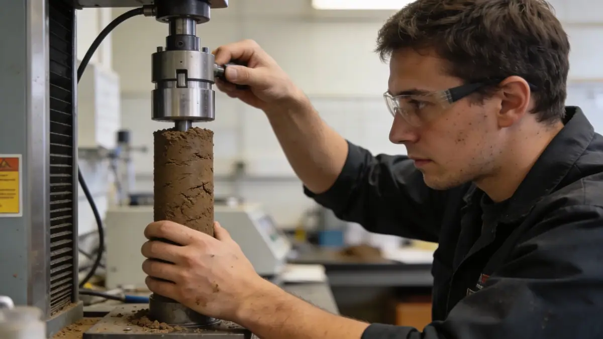
Our methodology for standard penetration test in Missoula follows ASTM D1586, with split-spoon sampling at 1.5-meter intervals to obtain N-values and soil recovery. We correlate N60 values to assess relative density and strength parameters for foundation design. In deeper alluvial sequences, borings extend to 15 meters or refusal, ensuring adequate characterization for seismic site classification. The standard penetration test (spt) remains the primary tool for liquefaction assessment in the region.
Reference Technical Parameters
| Parameter | Reference Value |
|---|---|
| Predominant soil type | Alluvial sands, silts, and gravels; colluvial soils on slopes |
| Maximum seismic acceleration (PGA) | 0.20–0.30 g (ASCE 7-16) |
| Typical groundwater level | 2–6 m below surface near river; >10 m in hillsides |
| Bedrock depth | 5–20 m in valley; outcrops on South Hills |
| Typical N60 range | 10–30 blows/ft in alluvium; 30–60+ in glacial till |
Local Considerations — Missoula
Missoula lies within the Intermountain Seismic Belt, with moderate seismicity from the Clark Fork Fault and nearby normal faults. The valley floor consists of Quaternary alluvium and glacial Lake Missoula sediments, prone to liquefaction during strong shaking. Hillside areas feature bedrock at shallow depth, requiring rock socket design. Our team references ASCE 7 seismic site class definitions and local building codes. For dynamic soil characterization, we also offer dpsh dynamic probing to complement SPT data in coarse alluvium. Our hub in Seattle coordinates regional projects, including standard penetration test en Seattle.
Request a Quote
Our team reviews your project and issues an initial report at no cost.
Or write us directly at [email protected]
Services in Missoula
Applicable Standards
- ASTM D1586
- ASCE 7-16 (Minimum Design Loads and Associated Criteria for Buildings)
- IBC 2021 (International Building Code)
- City of Missoula Subdivision Regulations
Frequently Asked Questions
What are the typical soil conditions encountered during standard penetration test in Missoula?
Soils in the Missoula Valley consist primarily of alluvial sands, silts, and gravels deposited by the Clark Fork River, with occasional clay layers. Glacial Lake Missoula sediments include varved clays and silts. Hillside areas feature colluvial soils overlying bedrock, often requiring rock coring.
How does seismic hazard affect standard penetration test requirements in Missoula?
Missoula is in Seismic Design Category C per ASCE 7, with PGA up to 0.30 g. SPT borings must extend to competent material or bedrock to evaluate liquefaction potential and determine site class. N60 values below 15 in saturated sands indicate high liquefaction risk.
Are geotechnical investigations mandatory for residential construction in Missoula?
City of Missoula regulations require a geotechnical report for subdivisions and certain commercial projects. For single-family homes, an SPT-based investigation is recommended when shallow foundations are planned on undocumented fill or in liquefaction-prone areas.