Methodology
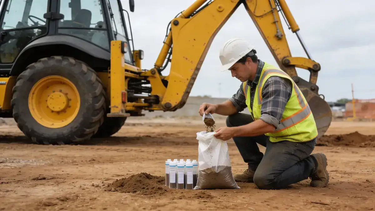
Our approach to standard penetration test in Glendale Arizona follows a systematic methodology aligned with ASTM D1586 and local regulatory requirements. We deploy truck-mounted drill rigs equipped with automatic hammers to ensure consistent energy delivery and accurate N-values. Borings extend to depths of 8–15 m for typical residential projects and up to 30 m for commercial or municipal structures, with sampling intervals of 1.0–1.5 m. Soil samples are logged in the field and transported to our laboratory for classification, moisture content, and strength testing. Our methodology integrates with standard penetration test (spt) protocols to provide a complete subsurface profile for foundation design and seismic site classification.
Reference Technical Parameters
| Parameter | Reference Value |
|---|---|
| Predominant soil type | Silty sands, clayey sands (SM, SC) with gravel layers |
| Maximum seismic acceleration (PGA) | 0.24g (ASCE 7-16, Site Class D) |
| Typical groundwater level | 15–30 m below surface (deep, variable) |
| Bedrock depth | >100 m (deep sedimentary basin) |
| Typical N60 range | 10–40 blows/0.3 m (medium dense to dense) |
Local Considerations — Glendale Arizona
Glendale Arizona lies within the Basin and Range province, underlain by deep alluvial deposits from the Salt River and local washes. Soils are predominantly silty sands and clayey sands (SM, SC) with occasional gravel lenses, exhibiting moderate to high plasticity in clay-rich zones. The region experiences low to moderate seismicity, with a maximum considered earthquake (MCE) PGA of 0.24g per ASCE 7-16, requiring Site Class D default unless proven otherwise. Groundwater is typically deep (>15 m), minimizing liquefaction risk but complicating deep excavations. Older neighborhoods near downtown Glendale have variable fill and undocumented compaction, while newer developments in the north and west benefit from more uniform alluvial profiles. Our team integrates these local conditions with cone penetration test (cpt) data for continuous stratigraphic profiling. For regional context, we coordinate with our standard penetration test en Phoenix hub to ensure consistent execution across the metropolitan area.
Request a Quote
Our team reviews your project and issues an initial report at no cost.
Or write us directly at [email protected]
Services in Glendale Arizona
Applicable Standards
- ASTM D1586 (Standard Test Method for Standard Penetration Test)
- ASCE 7-16 (Minimum Design Loads and Associated Criteria for Buildings)
- IBC 2021 (International Building Code, adopted by Arizona)
- City of Glendale Engineering Design Standards
- Arizona Department of Transportation Standard Specifications
Frequently Asked Questions
What soil types are typical in Glendale Arizona for standard penetration test projects?
Glendale's subsurface consists mainly of alluvial silty sands (SM) and clayey sands (SC) with interbedded gravels. These soils are generally medium dense to dense, with N60 values ranging from 10 to 40 blows/0.3 m. Clay layers may exhibit moderate plasticity, requiring careful evaluation for shrink-swell potential.
What seismic design criteria apply to standard penetration test data in Glendale Arizona?
Per ASCE 7-16, Glendale falls under Seismic Design Category C with a maximum considered earthquake spectral acceleration (SDS) of approximately 0.5g. Site Class D (stiff soil) is typically assumed unless site-specific shear wave velocity measurements indicate otherwise. Standard penetration test N-values are used to confirm site class and assess liquefaction potential.
Are standard penetration tests required for building permits in Glendale Arizona?
Yes, for most commercial and multi-family residential projects, the City of Glendale requires a geotechnical investigation including standard penetration tests. Single-family homes on undeveloped land or with expansive soils may also require subsurface exploration. The IBC 2021 and local amendments mandate soil classification and bearing capacity determination.