
Methodology
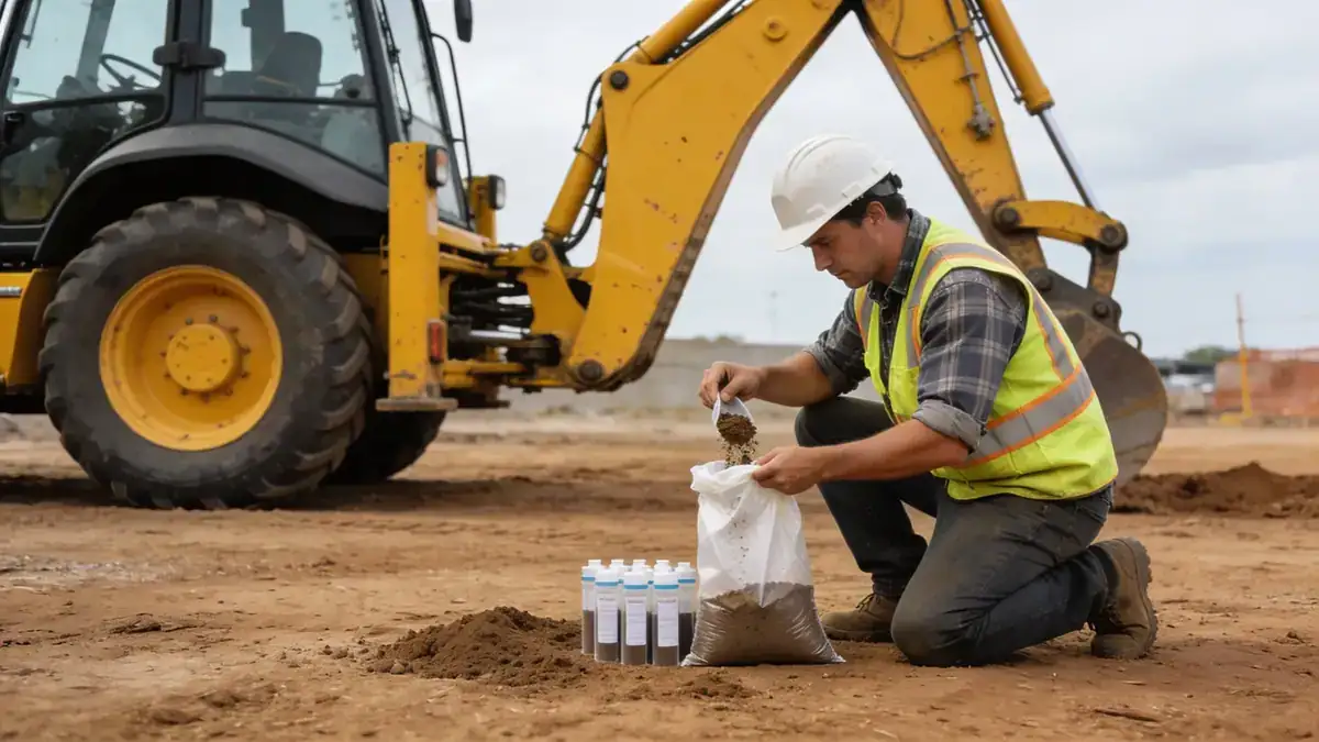
Our methodology for standard penetration test in Billings follows strict adherence to ASTM D1586, with continuous sampling at intervals of 1.0 to 1.5 meters. We employ automatic hammers and calibrated equipment to ensure N60 values are accurate and repeatable. For comprehensive site characterization, we integrate SPT with cone penetration test (cpt) data where appropriate, providing a complete subsurface profile. Our team logs each test in real-time, documenting soil types, groundwater conditions, and refusal depths. This systematic approach delivers reliable data for foundation design, seismic analysis, and slope stability assessments across Billings.
Reference Technical Parameters
| Parameter | Reference Value |
|---|---|
| Predominant soil type | Alluvial sands, silts, and gravels with clay lenses |
| Maximum seismic acceleration (PGA) | 0.2g to 0.3g (ASCE 7-16, Site Class D) |
| Typical groundwater level | 3 to 8 meters below ground surface |
| Bedrock depth | 10 to 30 meters (Fort Union Formation) |
| Typical N60 range | 5 to 50 blows per 300 mm (variable with depth) |
Local Considerations — Billings
Billings' geology is dominated by Quaternary alluvial deposits along the Yellowstone River, with terrace gravels and glacial outwash. The area experiences moderate seismicity due to the Intermountain Seismic Belt, with design PGA values up to 0.3g per ASCE 7. Groundwater levels fluctuate with river stages, typically 3–8 m deep. In older downtown districts, fill and buried utilities require careful SPT execution. For projects requiring advanced profiling, our team also coordinates dpsh dynamic probing in rocky or gravelly strata. Our work in Billings is supported by our regional expertise from standard penetration test en Denver, ensuring consistent quality across the region.
Request a Quote
Our team reviews your project and issues an initial report at no cost.
Or write us directly at [email protected]
Services in Billings
Applicable Standards
- ASTM D1586
- ASCE 7-16
- IBC 2021
- Montana Department of Transportation Standard Specifications
- Uniform Building Code (UBC) for historic structures
Frequently Asked Questions
What are the typical soil conditions encountered during SPT in Billings?
Billings soils are predominantly alluvial sands, silts, and gravels with occasional clay lenses. The Yellowstone River valley contributes to variable groundwater depths. SPT N60 values range from 5 to 50, with softer soils near the river and denser materials at depth or in terrace deposits.
How does seismic design influence SPT requirements in Billings?
Billings is in Seismic Design Category C per ASCE 7-16, with PGA up to 0.3g. SPT data are essential for determining site class (typically D or E) and evaluating liquefaction potential. Our SPT programs are designed to provide the continuous N60 profiles needed for site-specific response analysis.
Is a geotechnical investigation mandatory for residential construction in Billings?
While not always required for single-family homes, the City of Billings and Yellowstone County often request geotechnical reports for larger residential projects or those on steep slopes. Commercial and public buildings must comply with IBC 2021, which mandates subsurface exploration. Our SPT services meet these regulatory needs.